Readers, Welcome to my blog (formerly Birds, Blooms, Books, etc). I'm entering a new decade taking on the challenge of moving from Maryland after living there 46 years and learning about my new home here in New England in the Live Free or Die state - New Hampshire. Join me as a write this new chapter of my life.

Sunday, January 24, 2016

The Morning After: Part 1


Yesterday out my study window I watched landmarks slowly disappear.


Later.


Still later


The view this morning.


More to come later today as I get out to shovel and take photos.

Don't know our total but likely more than 2 feet.  I know it's a record for our house.

Saturday, January 23, 2016

Storm as of 10 AM

What's this a piece of wedding cake?


Generator in foreground before digging out.  It's not on yet.


After digging out.


Dan off down driveway for the third roundtrip.


Front door - I had the job of digging that out.


Perennial garden in the back.


Snow is almost up to the bottom of the swing.


Some things are just lumps.


The screen porch


where everything has a coating of snow.


Stay tuned.  Storm winds are intensifying and until they get to 35 mph its not considered a blizzard.

Snow- nado? Snowzilla? What's the Name of this Storm?

It's been snowing all night and will continue through this Saturday.

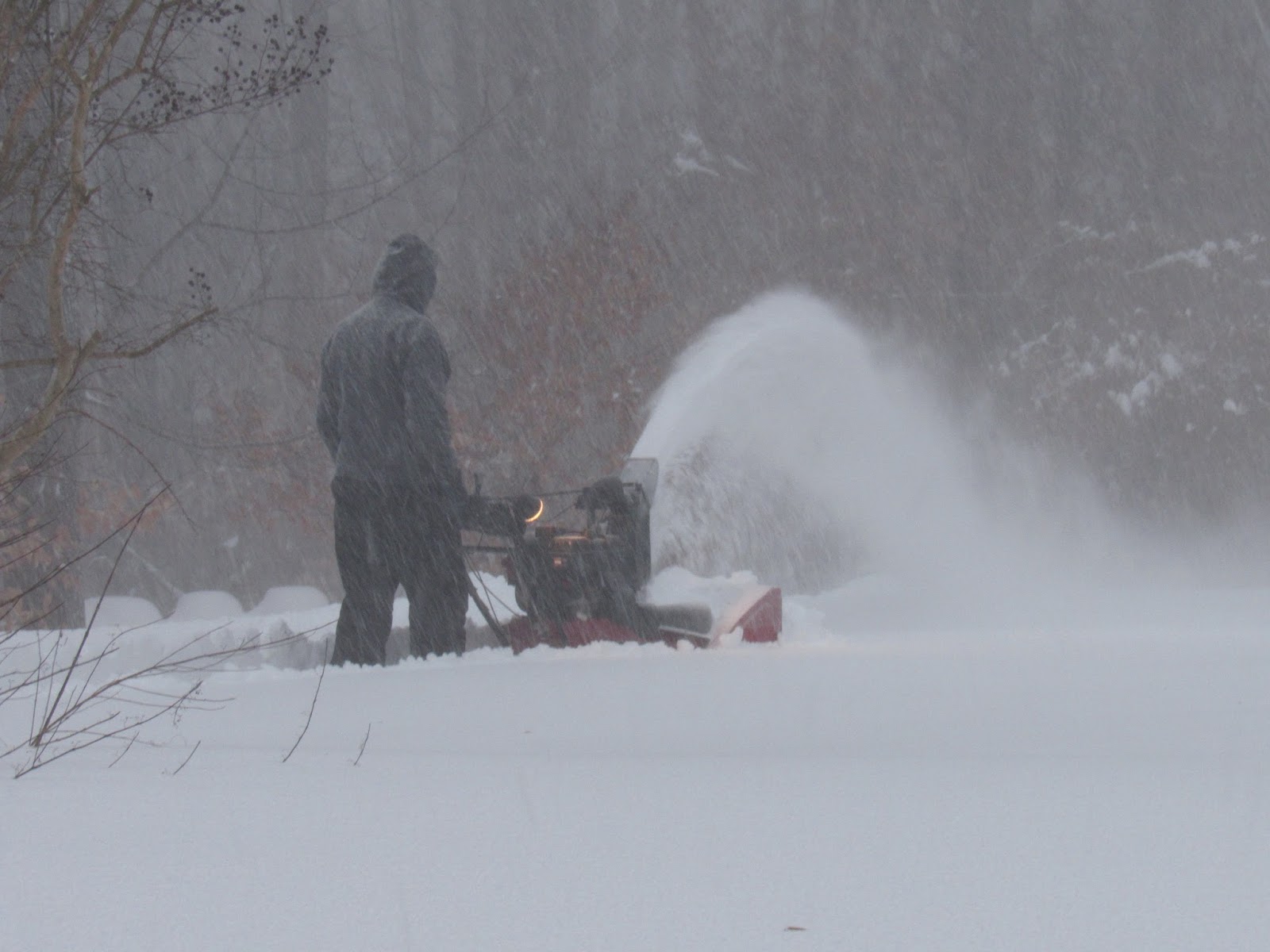
My husband is out as of 8 AM to do the first snow blowing.  If he waits for the storm to end the snow will be deeper than the opening of the blower.

Here is what it looked like.


More updates as the day progresses.

Friday, January 22, 2016

Snow Update

Update: Friday, January 22nd, 2016 - snow has started here
 at 2:30 pm.  Forecast is pretty dire!


A Storm of the First Order
THE EMPEROR WOULD BE PROUD

WINTER STORM WARNINGS FROM LOUISIANA TO PENNSYLVANIA 
  • UP TO 2 FEET OF SNOW POSSIBLE IN MANY LOCATIONS, SNOWFALL RATES OF 2-3 INCHES PER HOUR EXPECTED BY LATE TONIGHT INTO SAT AM.
  • WINDS OF 35 MPH+ FOR 12 HOURS OR MORE & THUNDERSNOW.
  • DO NOT TRAVEL AFTER 7 PM IF POSSIBLE
TIMING & IMPACTS
  • SNOWFALL & RATES. 2-3" an hour will be common from 11 PM Friday to 7 AM Saturday throughout the region from the middle and northern Eastern shore west to the DC/Baltimore region. If you anywhere between Richmond, VA and I-76 in PA, including the Eastern Shore of MD, 12-18" is possible on your doorstep by daybreak Saturday. Expect thundersnow tomorrow through Noon in areas bordering the Chesapeake Bay. Then the snow gets heavy. We are not making this up, honestly. See the impact timeline below.
  • BLIZZARD CONDITIONS with winds sustained at 35 mph+ for up to 12 hours in some locations. Do not go outside. Get all your outdoor prep done today, yes even after you get home following a full day of work. Tell the kids to hunker down with a Tolstoy novel or a 5000 piece puzzle, and a flashlight. They'll have a blast. We're not trying to be cavalier, we're trying to make a point: No one under this storm will be going anywhere for a couple days. 
Source: FootsForecast.org